10. Location
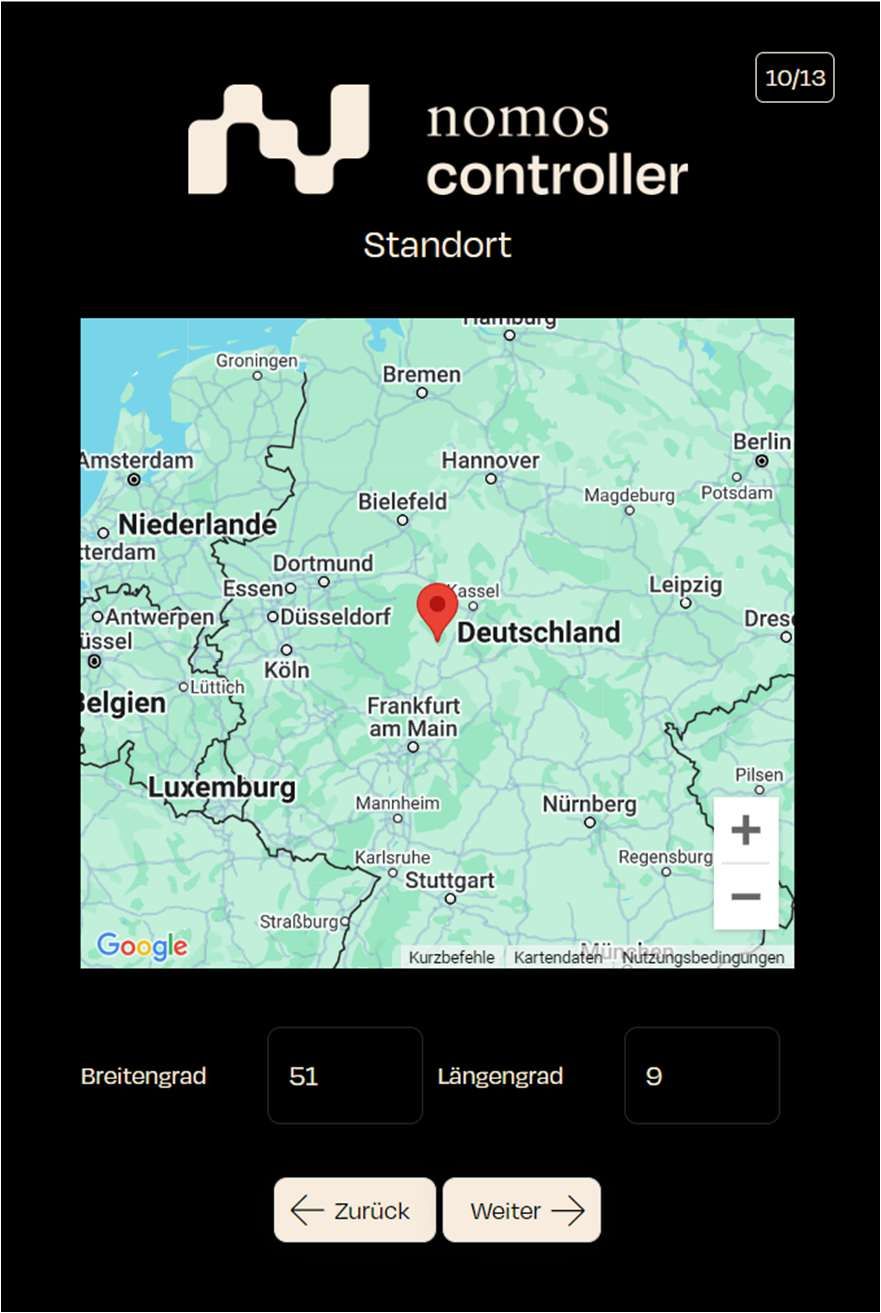
In this step, you define the location of the controller.
- Screen Display: A map is displayed, and the user can define the location using latitude and longitude coordinates.
- Example Values:
- Latitude: 51
- Longitude: 9
- Example Values:
- Step: Determine the controller's location either manually or using the map display. Adjust the latitude and longitude as needed.
- Next Step: Click "Next" to confirm the settings and proceed.
The location information helps the nomos system Controller to determine geo-data related to your project/object, such as calculating precise sunrise and sunset times for certain control elements.